Caminito del Rey Trail Route: Distance, Duration, and Map
If you ask the ticket office staff how long does caminito del rey take, they will probably tell you two and a half hours, then hand you a hairnet and send you on your way. That answer is technically true if you measure strictly from the control cabin where they scan your barcode to the exit turnstile at the south end, but it leaves out nearly half the actual journey. Most visitors who step off the train at El Chorro or leave their car in the gravel lots end up spending closer to four hours on the move before they sit down with a cold drink.
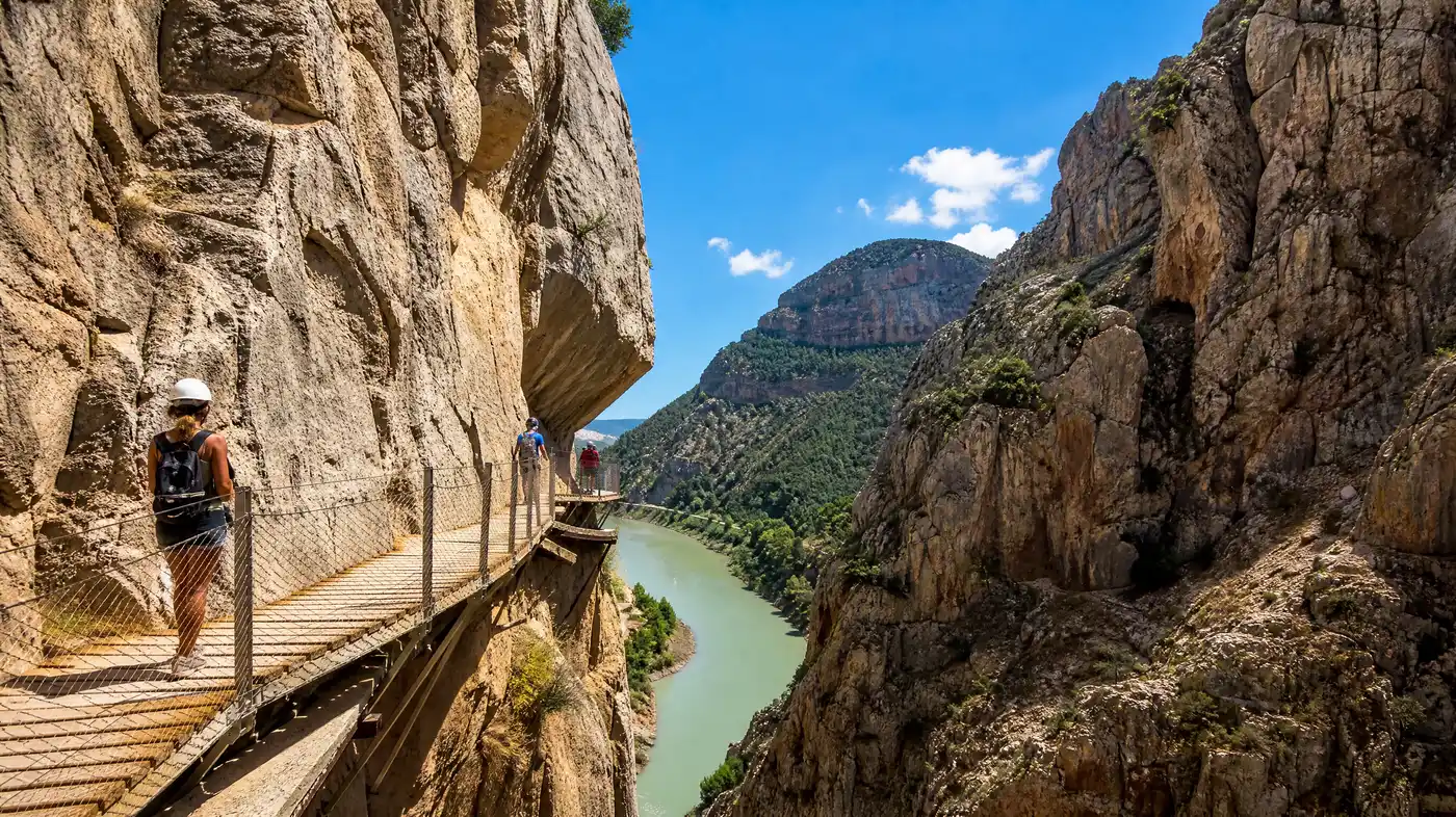
Getting your bearings around this trail requires untangling a few confusing numbers. People talk about the famous cliff-clinging wooden boardwalks as if they run the entire length of the hike, yet large stretches of the route wind quietly through pine woods, dry river washouts, and dirt access tracks. Knowing where the boardwalks begin, how the access trails connect, and what the terrain actually feels like under your boots will save you from sprinting to catch a shuttle bus with sore shins.
Book your caminito del rey guide experience:
Total Distance and the Real Caminito del Rey Length
The entire one-way walk covers about 7.7 kilometers from the northern approach down to the southern exit basin at El Chorro. Only 2.9 kilometers of that distance consists of the hanging walkways bolted to the limestone cliffs. The remaining 4.8 kilometers is pure approach and exit hiking across dirt roads, stone stairways, and packed forest trails.
The trail runs strictly north to south. It used to be a two-way scramble decades ago when daredevils crept across broken steel beams, but the boardwalks built in 2015 were designed for one-way traffic to keep people moving safely through narrow canyon bottlenecks. Because of this linear setup, you cannot loop back on foot unless you plan on walking an extra 10 kilometers along the paved mountain highway outside the gorge, which nobody does.
Note: Walking backward against the flow of visitors on the boardwalks is strictly forbidden, and park rangers will stop you if you try to turn around mid-canyon.
Here is how the 7.7 kilometers split across the entire journey:
| Trail Section | Distance | Average Walking Time | Trail Surface |
|---|---|---|---|
| Long Tunnel access path (North) | 2.7 km | 35 - 45 min | Dirt path, gradual downhill |
| Short Tunnel access path (North) | 1.5 km | 20 - 25 min | Gravel trail, unlit rock tunnel |
| Gaitanejo Gorge (Boardwalk Section 1) | 1.1 km | 25 - 35 min | Wooden suspended planks |
| Valle del Hoyo (Middle Valley) | 1.8 km | 30 - 40 min | Dirt track, river stones, open sun |
| Garganta del Chorro (Boardwalk Section 2) | 1.8 km | 40 - 55 min | High boardwalks, suspension bridge |
| Southern Exit to El Chorro train station | 2.1 km | 30 - 40 min | Gravel footpath, paved gentle descent |
As you can see, the path changes character dramatically along the way. You drop from dense Aleppo pines into dark stone slots, spill out into a wide sun-baked agricultural basin, then squeeze through sheer rock walls that plunge straight down into emerald reservoir water.
Step-by-Step Breakdown: How Long Does Caminito del Rey Take?
Timing your day depends largely on which northern approach tunnel you choose. Near the El Kiosko restaurant at the northern reservoir, two distinct routes lead down to the official check-in booth at the Gaitanejo control cabin. Many hikers show up thirty minutes before their entry slot thinking the booth sits right by the parking spot, only to find themselves running through the woods with untied shoelaces.
- The Short Tunnel option: takes about 20 minutes to walk. You duck through a dark pedestrian bore cut into the rock near the road, pop out into a narrow ravine, and follow a descending dirt track for 1.5 kilometers directly to the checkpoint.
- The Long Tunnel option: takes roughly 40 minutes across 2.7 kilometers. It starts slightly further up the road near the bridge, passing through a broader arched tunnel before winding gently along the riverbank under tall pines.
- The Checkpoint scan and helmet fitting: eats up 10 to 15 minutes. Rangers check your tickets, hand out mandatory hard hats, and give a brief safety talk in Spanish and English about falling stones and selfies.
- The inner canyon and boardwalks: lasts anywhere from 90 minutes to two hours, depending on how many photos you stop to take and whether you get stuck behind large tour groups.
- The southern walk-out: takes around 35 minutes across 2.1 kilometers of steady downhill walking from the end of the boardwalks past the old railway line to the bus stop in El Chorro.
If you add up all those pieces, a standard self-guided visit rarely takes less than three hours on foot. Factor in waiting for the shuttle bus to bring you back to the north lot, and four hours is a much safer estimate for planning lunch or booking train tickets back to the coast.
Caminito del Rey Difficulty: Is It Physically Demanding?
The walk is surprisingly gentle. Because the original walkway followed an industrial water canal built to feed a hydroelectric plant at the turn of the twentieth century, the engineering required a nearly flat gradient to keep the water flowing at an even pace. You will not be climbing steep mountain ridges or scrambling up boulder fields.
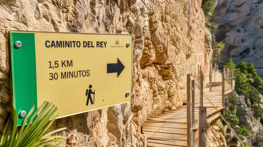
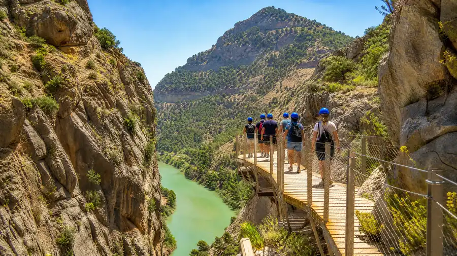
Most of the boardwalk sections feature flat wooden timber decking with sturdy wire railings roughly 1.2 meters high. You cross a few short wooden staircases where the walkway adjusts for natural faults in the rock, but these rarely exceed 25 steps at a time. Anyone with basic walking fitness can handle the trail comfortably. If you can walk through a flat city park for two hours without joint pain, you will do fine here.
Pro tip: Wear shoes with stiff soles rather than ultra-thin running flats; the wooden planks have small gaps, and the approach paths have loose limestone gravel that can bruise tender arches over several miles.
Vertigo is the real hurdle for some people, not physical stamina. At its highest points through the southern gorge, the wooden platform hangs 100 meters above the canyon floor. The Guadalhorce River looks like a thin ribbon below your boots, and the suspension bridge near the exit bounces slightly in the wind with a see-through steel mesh deck. If sheer drops make your knees shake, your walking speed will drop significantly.
The weather also plays a massive role in how hard the hike feels. In July and August, the central valley section becomes an oven where temperatures frequently climb above 38 degrees Celsius, reflecting heat off bare rock. There is very little shade through that middle two-kilometer stretch, so check our breakdown of rules, clothing requirements, and weather gear before filling your pack.
Book your caminito del rey guide experience:
Navigating the Caminito del Rey Route Map
The geography of the Desfiladero de los Gaitanes natural park can be disorienting from ground level because the rail line, the river, and the pedestrian walkways weave around each other through tunnels and across chasms. A clear mental map keeps you oriented as you progress through each section.
The journey kicks off at the northern reservoir system near Ardales. Once past the Gaitanejo control cabin, you enter the first canyon, known as the Gaitanejo Gorge. This is the narrowest slot on the entire route, measuring barely ten meters across in some spots. Here you walk directly above the original concrete path built between 1901 and 1905, which still clings to the rock face below the modern timber path like a crumbling ruin.
Leaving the first gorge, the cliffs peel back suddenly to reveal the Valle del Hoyo. This central valley feels like a different country altogether. The path becomes a dusty earth track winding past Mediterranean scrub, fig trees, and old stone masonry houses once used by canal workers. It is a quiet, open stretch where visitors naturally spread out, giving you room to breathe after the tight canyon catwalks.
The finale is the Garganta del Chorro, the southern gorge. The rock walls here soar nearly 300 meters high, leaning toward each other in terrifying scale. You step onto high boardwalks bolted into sheer vertical stone, peer across at railway trains popping out of pitch-black mountain tunnels, and eventually cross the famous hanging bridge over the canyon mouth. Once across, you follow the cliff line around the mountain flank before stepping onto the wide path leading down to El Chorro village.
Real-World Timing: Shuttle Buses and Entry Windows
One of the biggest logistical mistakes visitors make is forgetting that their ticket time is the moment they must scan at the inner checkpoint, not the time they should park their car. If your ticket says 11:30 AM, you should be parking by 10:30 AM at the very latest.
Most travelers leave their vehicle at the large visitor center parking area or by El Chorro station at the south end, then ride the public shuttle bus up to the north reservoir before starting the hike. The shuttle takes about 25 minutes to wind around the mountain roads, but queues on busy mornings can cause you to miss a bus or two. We cover the transit schedule, bus stops, and car parks in our guide to parking and shuttle logistics so you do not lose your morning to missed connections.
- Morning entry slots (09:00 - 11:00): Cooler walking temperatures, great soft lighting inside the gorges, fewer delays along narrow catwalks.
- Midday entry slots (11:30 - 14:00): Longest queues for the shuttle bus, intense sun through the middle valley, harsh overhead glare for photography.
- Late afternoon slots (14:30 - 17:00): Deep shadows cast by the canyon walls, much cooler air, and fewer tour groups crowding the suspension bridge.
Take your time on the trail. You are not allowed to sit on the timber walkways to eat a picnic, but there are several stone benches scattered along the dirt paths in the Valle del Hoyo. Sitting there for 15 minutes to watch the griffon vultures circling high overhead on the thermal updrafts is one of the finest parts of the entire outing.
Frequently Asked Questions about how long does caminito del rey take
Can you walk the trail in reverse from El Chorro to Ardales?
No. The trail is strictly one-way, starting at the northern reservoir near Ardales and finishing in the south at El Chorro. You cannot enter from the southern control point.
How long does the actual wooden walkway section take?
The wooden boardwalks themselves cover roughly three kilometers split between the northern and southern gorges. Most people spend around an hour and a half slowly walking these cliff sections, taking photos and admiring the canyon walls.
Is there somewhere to buy water or use a toilet midway through?
There are portable toilets near the northern entry booth and proper restrooms at the southern exit in El Chorro, but zero facilities along the trail itself. There are no water taps, kiosks, or trash cans along the seven kilometers, so you must bring enough drinking water for the entire walk.
Can children handle the distance and trail conditions?
Children must be at least eight years old to enter the site, and rangers check official identification documents at the gate. Any active child aged eight or older can easily handle the walking distance, provided they wear decent shoes and have a hat for the sunny valley stretch.
Quick Reference
- Total walking distance: 7.7 km (4.8 miles)
- Total time on foot: 3 to 3.5 hours
- Door-to-door excursion time: 4 to 4.5 hours with shuttle bus
- Trail grade: mostly flat downhill, low physical difficulty
- Minimum visitor age: 8 years old (ID required)
Book your caminito del rey guide experience:
The Bottom Line
Do not rush your time along the cliffs. The engineering feats visible on the rock faces, from century-old iron pins to the clean modern boardwalk suspended high above the water, deserve more than a quick brisk jog to the finish line. Pack two liters of cool water, set aside a full four-hour window from your arrival in the valley to your departure, and give yourself plenty of room to pause, look up at the soaring stone walls, and take in one of the most remarkable river canyons in southern Spain.
Read more about caminito del rey guide.